Just
southwest of Gūtmaņala are a steep set of stairs leading up the wooded cliffs.
What better reason is needed to climb dozens of flights of stairs than simply
their existence? We probably could have looked at a map beforehand, but our
spontaneous ascent led to a scenic day in the area between Turaida and
Krimulda, and so it wasn’t the worst decision.

Trails
crisscross the ridges and valley between Sigulda and Turaida, some of them
newer and well-marked, others older and not as well-suited for hiking with
children. Upon reaching the top of the stairs above Gūtmaņala we found ourselves on a trail
with clearly marked directions (either to Turaida or Krimulda), but no clear
indication of distances or degree of difficulty. Despite this we set off in the
direction of Krimulda, and not long after found ourselves on the summit of Rata kalns, or Rack’s Hill. It is
believed that during the Middle Ages this was a place of torture as well as
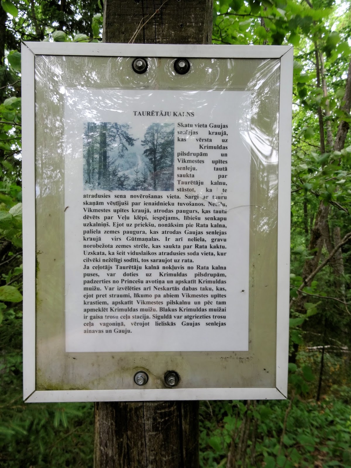
home to a castle. We hurried on to the next hill, Taurētājkalns or Trumpeters’ Hill. With a good view of the Gauja
valley it is thought that this was an old observation point where soldiers
stood on guard, warning of the enemy’s approach by sounding a bugle.
Somewhere
we must have deviated from the main path, as we were suddenly encountering
fallen trees over the trail and entire sections of steps missing from stairs. However, we made it down to the valley
and better marked trails, and decided to continue on in search of a meal.

At
this junction we had the option to hike west to the Vikmeste castle mound, not
far from Veļu
klēpi
(also on the
shores of the Vikmeste river), named as such because of the historical
importance as a burial grounds for the ancient Liv peoples. Instead we opted
for the shorter route to Krimulda, up Serpentine Road. The
historic route connecting Sigulda to Krimulda was built in 1862 in honor of the
visit of Tsar Alexander II, and was restored in 2007. At the top lie the
Krimulda Medieval ruins of the castle built in the 13th century for the Archbishopric of Rīga.
In 1601 the castle was burned down upon the approach of Polish troops on the
order of a Swedish colonel, and afterwards the location abandoned. A little further there
are several old wooden structures with fascinating ornate facades, identified on a sign as the Swiss House, built in the first part of the 19th century. The
chalet was modeled after the architecture of Swiss mountain houses, and served
as a guest house.

We
passed the station for the cable car & the greenhouses and entered the
gates of the Krimulda manor-house, walking down a lane lined with old trees
towards the 19th century castle. Built in 1872 in the style of late
classicism, the estate was home to three generations of the Lieven family. The
last of the Lievens left Latvia during WWI, whereupon the estate was transferred
to the Red Cross to serve as a tuberculosis sanatorium. Over the years the property has served as a
children’s sanatorium and a rehabilitation center, and today is “Rehabilitation
Centre Krimulda” in addition to a tourist destination and overnight accomodations.

We
lunched at the grocery/café Milly in what used to be the cattle-yard building, refueling
after what had been a steep climb. From our outdoor seating we had a good view
of the 19th century Steward’s house and Bookkeeper’s office, built
of stone and covered in a century’s worth of ivy.

Just
as we finished our lunch it started to drizzle, and so instead of continuing on
to explore the rest of the estate we retraced our steps, passing between the manor
and the sunbathing ‘porch’ built in 1927.

Arriving
at the cable car station we learned the next car was due in 10 minutes and
elected to wait. Dating back to 1969, the car takes about 5 minutes to
transport you 140 feet above the Gauja river to Sigulda, a distance of 3,500
feet. The aerial excursion was not meant to be; upon the car's arrival the
operator informed us there was a 2-3 hour wait for a return trip, and so we
continued down the Serpentine Road down into the Gauja Valley.

Instead
of climbing the steep stairs and returning via the ridge, we followed one of
the trails that led us back to Gūtmaņala along the Gauja river. Along the way
we found Mazā ala, the little cave
that is much smaller than its counterpart a little further on, but that had a
powerful artesian aquifer flowing out of the ground. We all ducked inside,
amazed at the drop in temperature and mesmerized by the eddying sand of the
spring.

And
then suddenly we rounded a corner to find ourselves back at Gūtmaņala, and at the foot of the stairs that had started our adventure. A stop at the Visitor
Center was a must, and soon after we were in the car headed the short distance
north to Turaida…


No comments:
Post a Comment